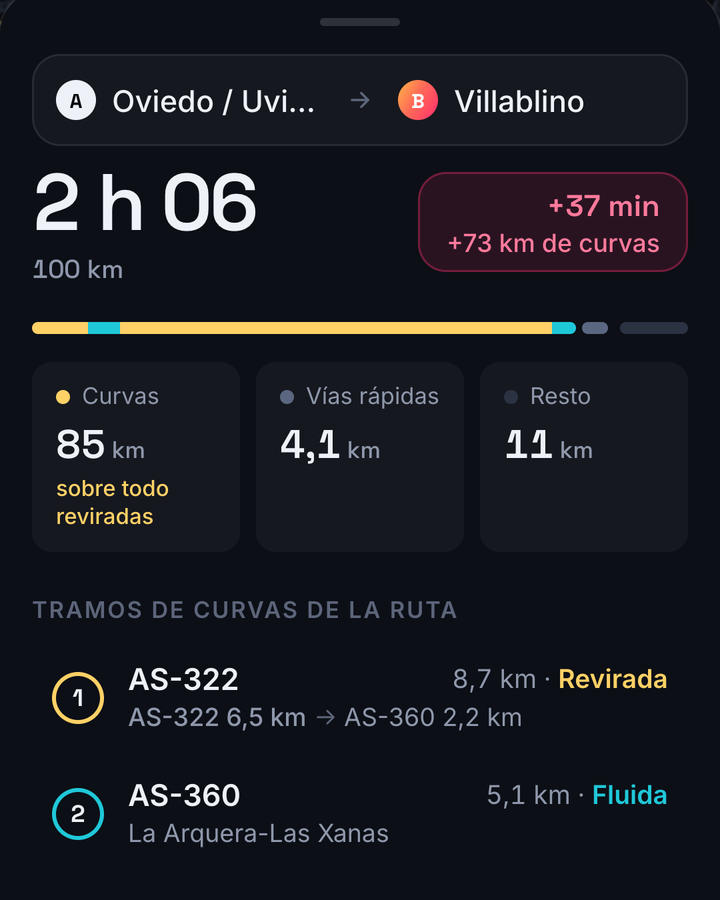
Por dónde vas, antes de arrancar.
Cada tramo con su carretera, sus km y lo revirado que es, de «Suave» a «Épica». Avisa de tramos estrechos, vados y carreteras que cierran parte del año.
 Twisty
Pones de dónde sales y adónde vas, y Twisty te busca las carreteras con curvas que quedan de camino. Si por autovía llegas antes al puerto, va por autovía hasta allí.
Próximamente en Google Play
Android · gratis · sin anuncios · carreteras de España
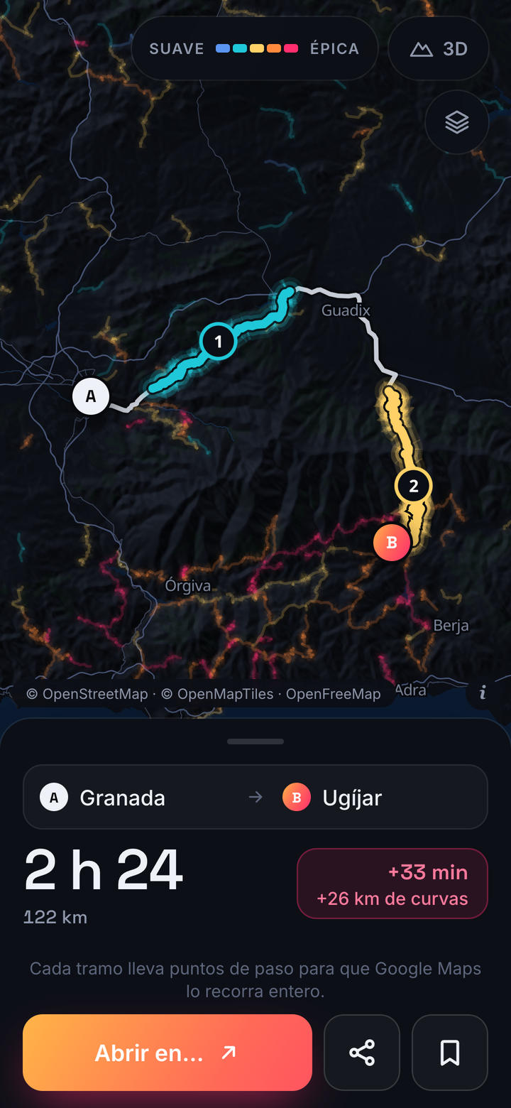
En las apps de navegación, «evitar autovías» es todo o nada: o vas por autovía todo el camino, o sales de la ciudad despacio y cruzas cada pueblo. Twisty usa la autovía solo para llegar antes a las carreteras buenas.
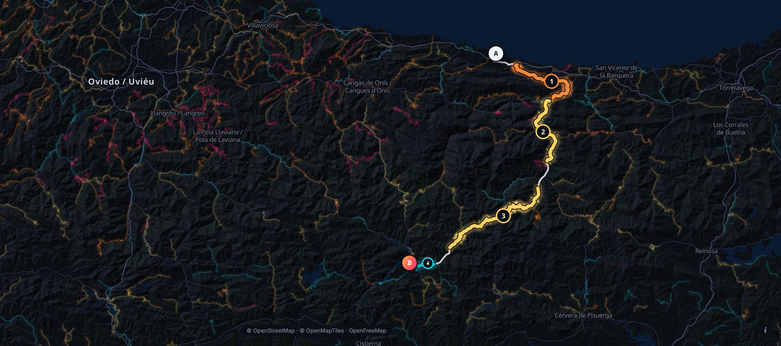
Pueblos mientras escribes, calles cuando las buscas, o mantén pulsado en el mapa.
De la ruta más rápida a la que va por más curvas. Cada una dice cuánto tiempo añade y cuántos km de curvas lleva.
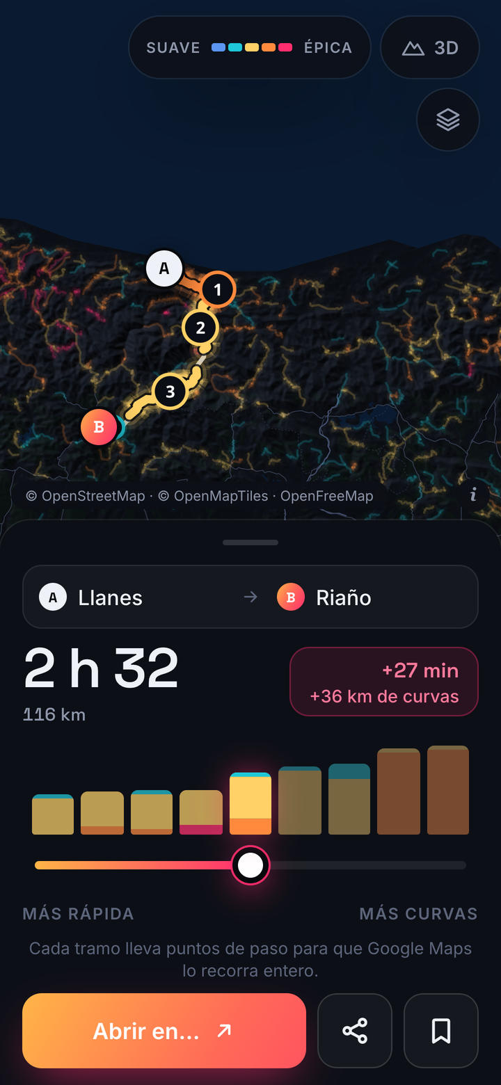
La pasas a tu app de navegación con los tramos marcados, o como GPX.
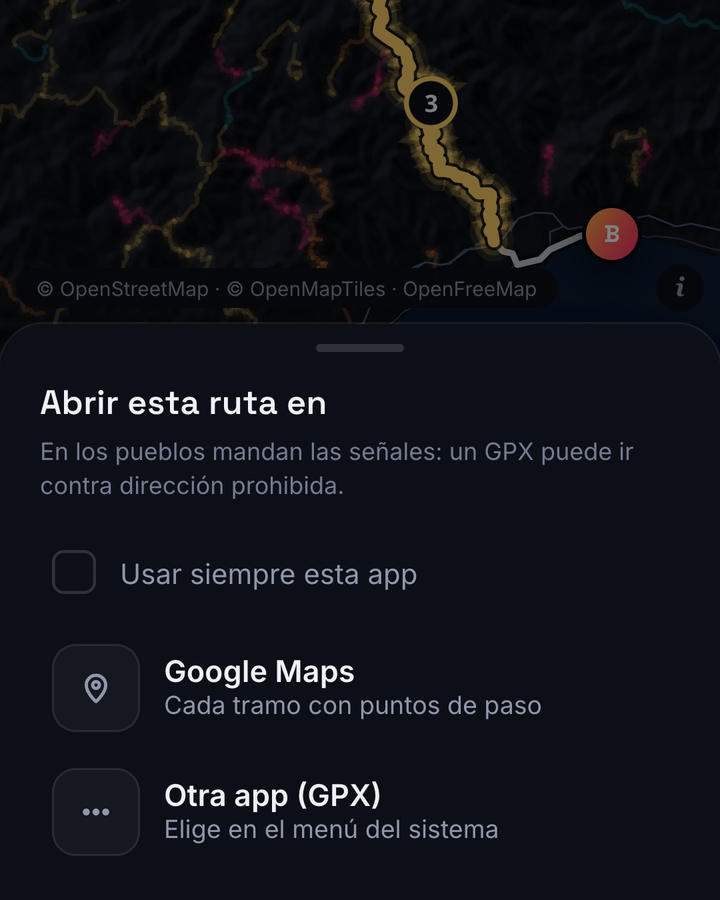
Cada tramo con su carretera, sus km y lo revirado que es, de «Suave» a «Épica». Avisa de tramos estrechos, vados y carreteras que cierran parte del año.
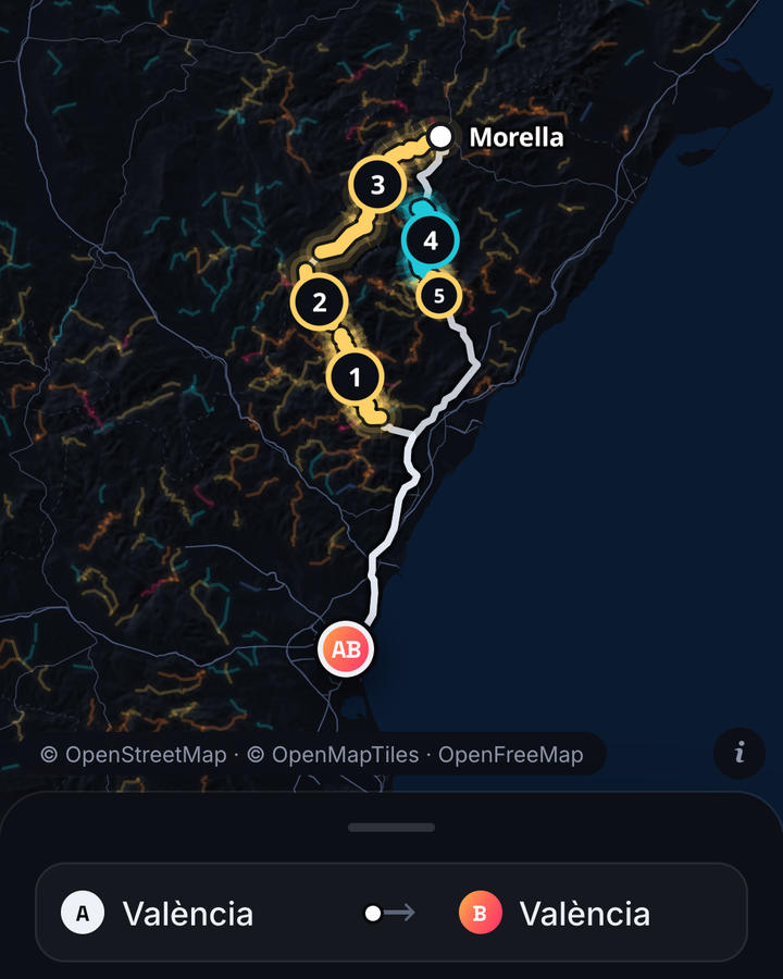
Rutas circulares y hasta 3 paradas.
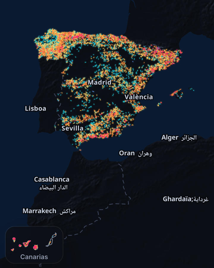
Más de 5.000 marcadas en el mapa, Baleares y Canarias incluidas.
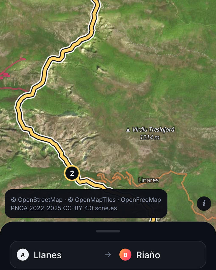
Con las fotos aéreas del IGN y relieve en 3D.
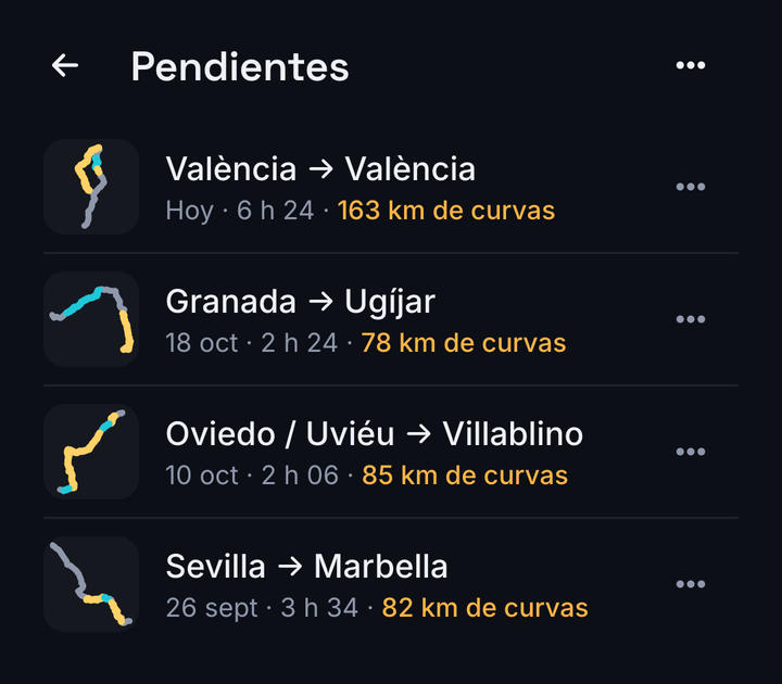
Guárdalas y compártelas.
La ruta y la búsqueda de pueblos funcionan sin cobertura; el mapa necesita conexión.
No hace falta cuenta, y no lleva anuncios ni estadísticas de uso. Tus viajes se guardan en el móvil, y tu ubicación solo sale en lo que tú envías: una búsqueda de calle, o una ruta que abres en otra app o compartes. Qué ve cada servicio de mapas y de búsqueda: política de privacidad.
Twisty planifica la ruta; te guía tu app de navegación. Las rutas salen de OpenStreetMap y pueden fallar: mandan las señales, y el móvil no se toca en marcha.
Próximamente en Google Play
Put in where you start and where you're going, and Twisty finds the twisty roads on the way. If the motorway gets you to the pass sooner, it takes the motorway up to there.
Coming soon to Google Play
Android · free · no ads · roads in Spain
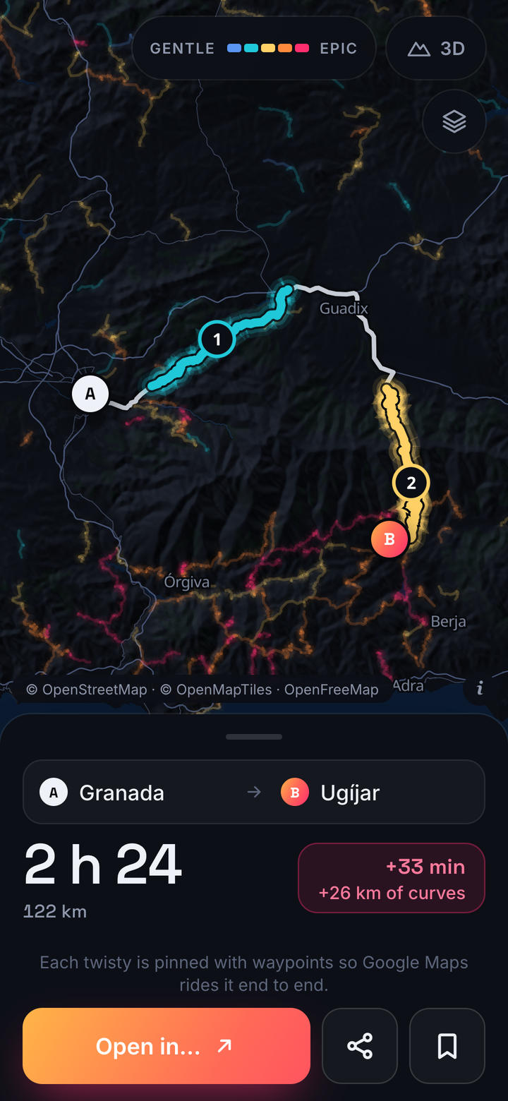
In navigation apps, "avoid motorways" is all or nothing: either you stay on the motorway the whole way, or you crawl out of the city and through every village. Twisty uses the motorway only to reach the good roads sooner.
Towns as you type, streets when you search for them, or a long press on the map.
From the fastest route to the one with the most bends. Each says how much time it adds and how many km of bends it has.
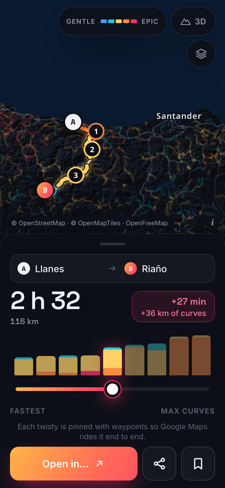
Send it to your navigation app with the stretches pinned, or as a GPX.
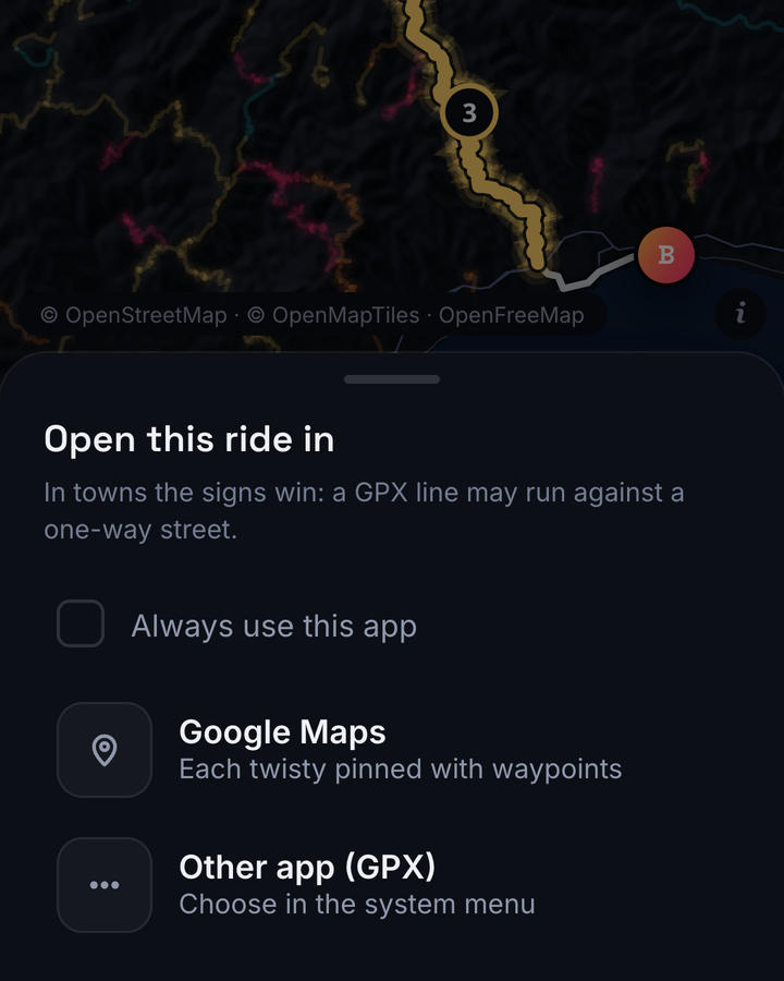
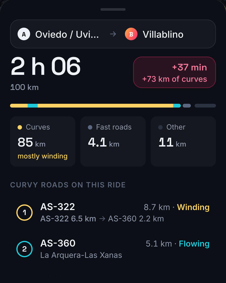
Each stretch with its road, its length and how twisty it is, from "Gentle" to "Epic". It flags narrow stretches, fords and roads that close part of the year.
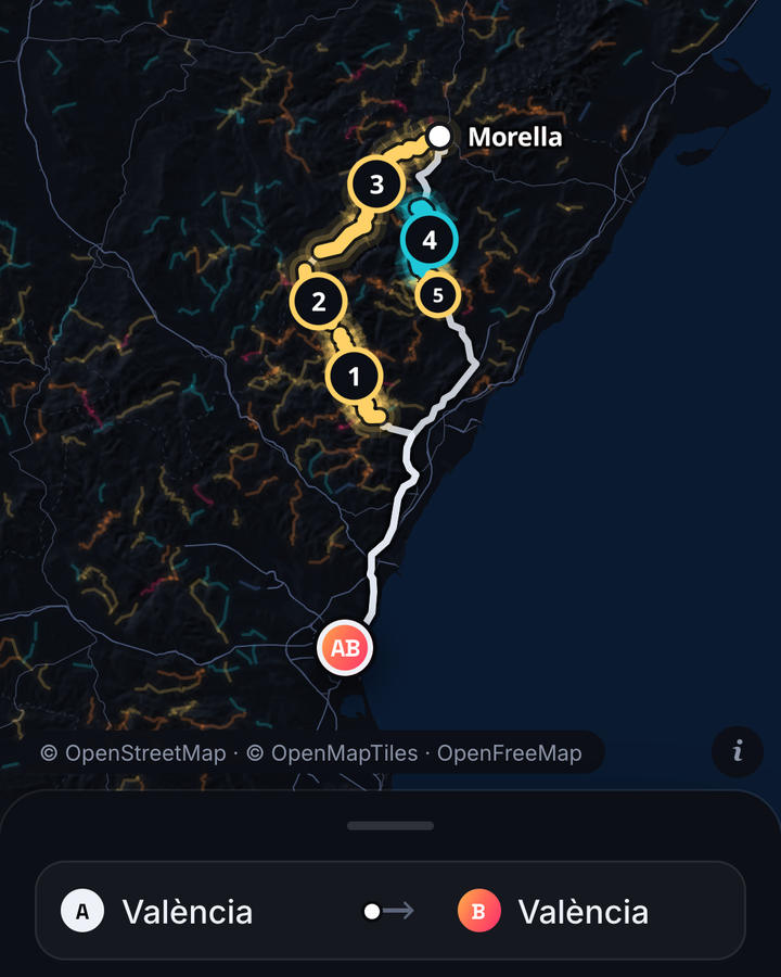
Loops, and up to 3 stops.
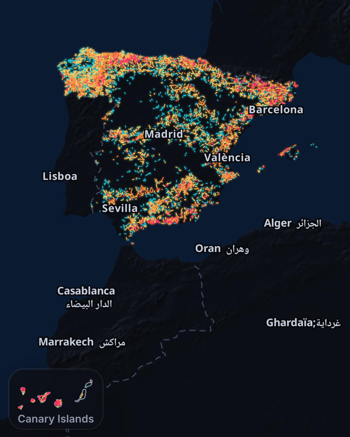
Over 5,000 marked on the map, the Balearic and Canary Islands included.
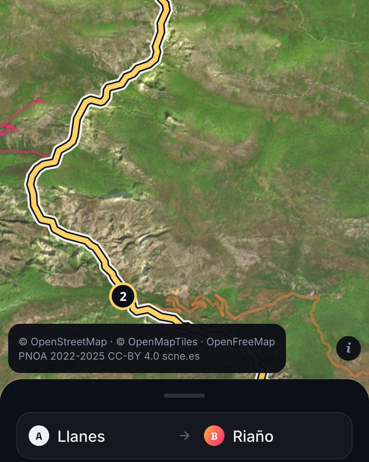
With the IGN's aerial photos and 3D relief.
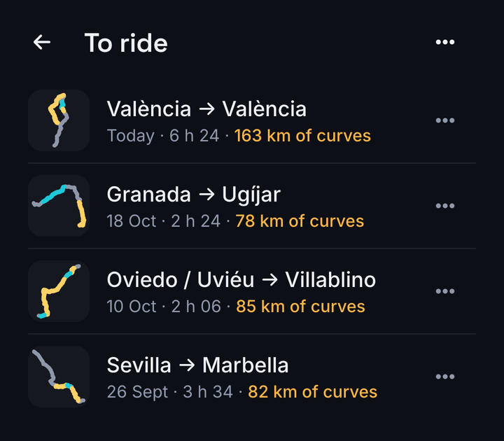
Save them and share them.
Routing and town search work with no signal; the map needs a connection.
No account needed, and no ads or usage tracking. Your trips are kept on the phone, and your location only leaves it in what you send: a street search, or a ride you open in another app or share. What each map and search service sees: privacy policy.
Twisty plans the route; your navigation app guides you. Routes come from OpenStreetMap and can be wrong: road signs always win, and never handle the phone while riding.
Coming soon to Google Play